Surveying London with a pole
![]()
![]()


![]()


The earlier surveying practices consisted of direct measurement of the ground with a pole
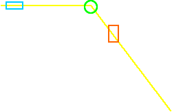
Drag the surveyor along the yellow line,
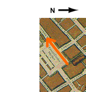
- till he crosses the red rectangle to plot the North side of Covent Garden: you will see the beginning of the map appear,
- then to the green circle to make him turn at right angle,
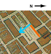
- then to the blue rectangle to plot the West side: you will see the rest of the map appear.

